Species
Follow a species across the system
Use swordfish to explore how one organism connects distant ocean regions.
The ocean covers about 70% of Earth’s surface and is the planet’s defining physical feature. It is one connected body of water: named oceans help us describe different regions, but they form one global system. This principle connects geologic features, ocean-water properties, circulation, and watersheds.
NMEA grade band: Grades 6–8
Other grade bands are in preparation.
Students should come away understanding that the ocean is not a set of isolated facts or separate places. It is one global system made of many distinct regions that are linked by movement, exchange, and change.
This principle gives students an early introduction to systems thinking by showing that different places and features still belong to one connected ocean. It is foundational because later ideas about biodiversity, climate, migration, and human impact all depend on understanding connection.
If two ocean regions look very different, what evidence shows that they still belong to one connected system?
Ocean basins contain ridges, trenches, rift valleys, seamounts, islands, continental shelves, and other features. Many of these features are created and changed by the movement of Earth’s tectonic plates.
The size and shape of ocean basins have changed over geologic time and continue to change. New ocean crust forms at spreading centers, while older, denser crust is recycled into Earth at subduction zones.
Earth’s internal heat contributes to plate movement. Continents that were once joined later separated along rift valleys, forming the continents and ocean basins we recognize today, and the continents are still moving.
Heat escaping from Earth drives slow convection within the largely solid mantle, which can deform and flow over geological time. Plate motion is part of this system, with forces including the pull of sinking plates; the mantle is not an ocean of liquid magma.
At several times in geological history, continents were assembled into supercontinents surrounded by a vast ocean. Their breakup changed ocean-basin geometry and circulation.
Connected concepts in other principles
About 97% of Earth’s water is in the ocean. Temperature and salinity affect seawater density: colder or saltier seawater is generally denser.
Ocean temperature changes through warming and cooling, including heating by sunlight and cooling through contact with ice. Evaporation and sea-ice formation can raise salinity, while rainfall, river inflow, and melting ice can lower it. Differences in density help drive deep ocean currents.
Salts enter the ocean through erosion of land, volcanic emissions, reactions at the seafloor, and material deposited from the atmosphere.
More dissolved salt lowers seawater’s freezing point. Seawater is also generally slightly basic, although its pH varies across places and over time.
Wind, together with Earth’s rotation, helps organize surface currents. Differences in seawater density help drive deep currents, while the gravity of the Moon and Sun produces tides. The shapes of ocean basins and continents help guide circulation.
Currents transport heat, nutrients, and organisms throughout the ocean, linking distant regions and shaping marine ecosystems and climate.
Wind and Earth’s rotation organize many surface currents into large gyres. Large subtropical gyres generally rotate clockwise in the Northern Hemisphere and counterclockwise in the Southern Hemisphere.
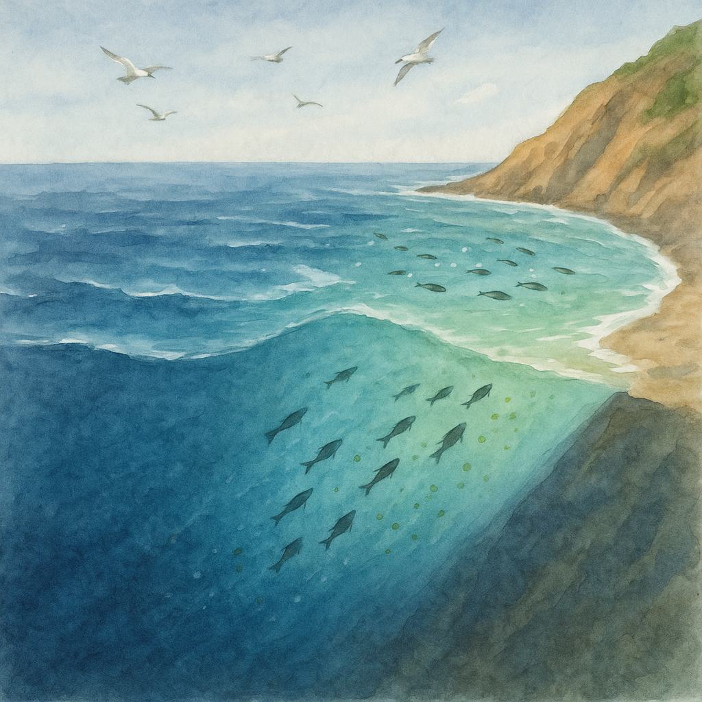
Coastal upwelling is common along western coasts of continents, where it brings cold, nutrient-rich deep water into the sunlit surface ocean and supports primary producers. Currents also carry larvae and juveniles into new areas.
The deflection associated with Earth’s rotation is called the Coriolis effect.
Water moves between ocean, land, and atmosphere through evaporation, condensation, precipitation, runoff, and groundwater flow.
Rivers and streams carry freshwater, salts, sediments, nutrients, and pollutants through watersheds to estuaries and the ocean. Where freshwater and seawater mix, they can create density differences that influence local circulation.
Global sea level rises when land-based glaciers and ice sheets melt and when warming seawater expands.
Connected concepts in other principles
Species
Use swordfish to explore how one organism connects distant ocean regions.
Ecoregion
Compare one highly productive region with a contrasting basin or gyre to highlight both difference and connection.
Opportunity
Use deep currents to discuss what moves through the ocean and how distant places influence one another.
Explore ocean basins and seafloor features, then compare temperature, salinity, and currents to investigate why ocean water moves.
Trace how species, places, processes, threats, and opportunities are connected across the system.
Use cards to explore examples of movement, connection, and large-scale ocean processes.
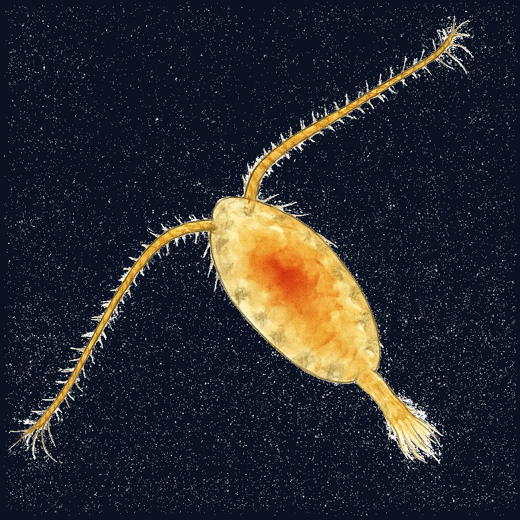
Species
Copepods show how currents transport small drifting organisms and help young marine life spread between connected ocean areas.
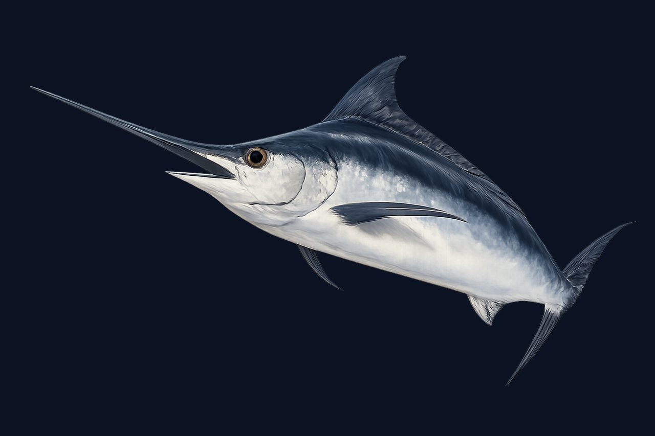
Species
Swordfish help explain the principle because they move through large parts of the ocean system rather than staying inside one region.
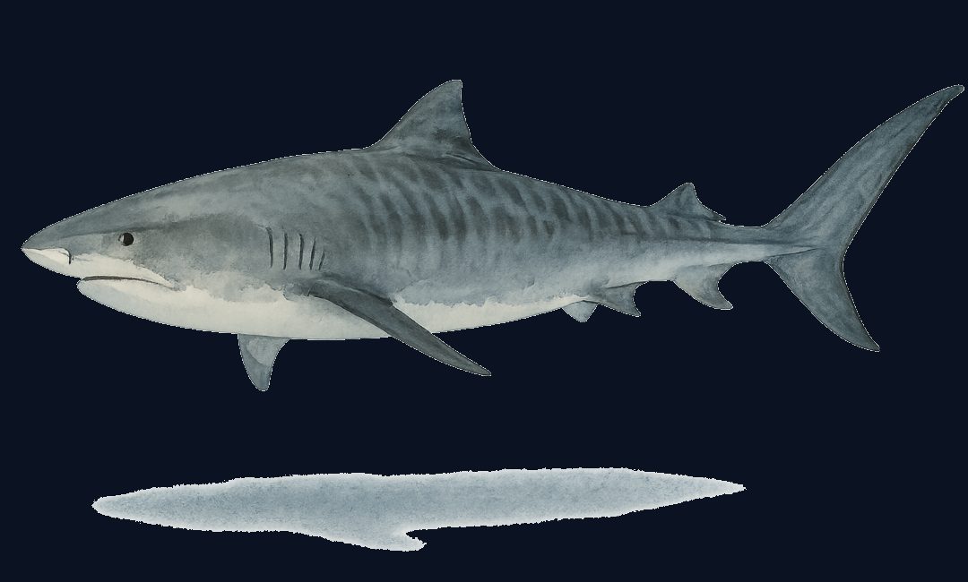
Species
Tiger sharks show that wide-ranging predators depend on connections among coastal habitats, open water, and large-scale ocean movement.
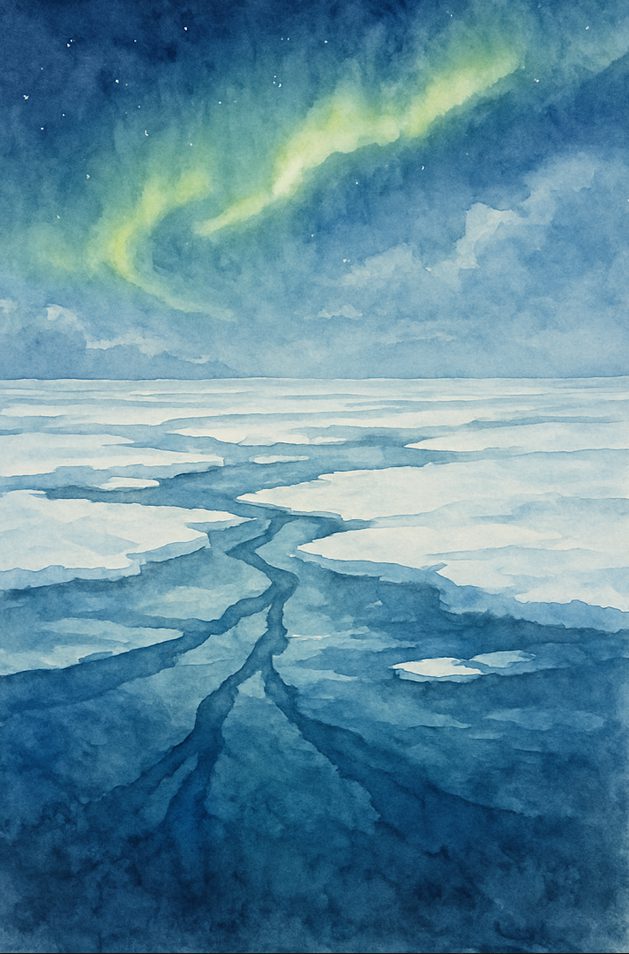
Ecoregion
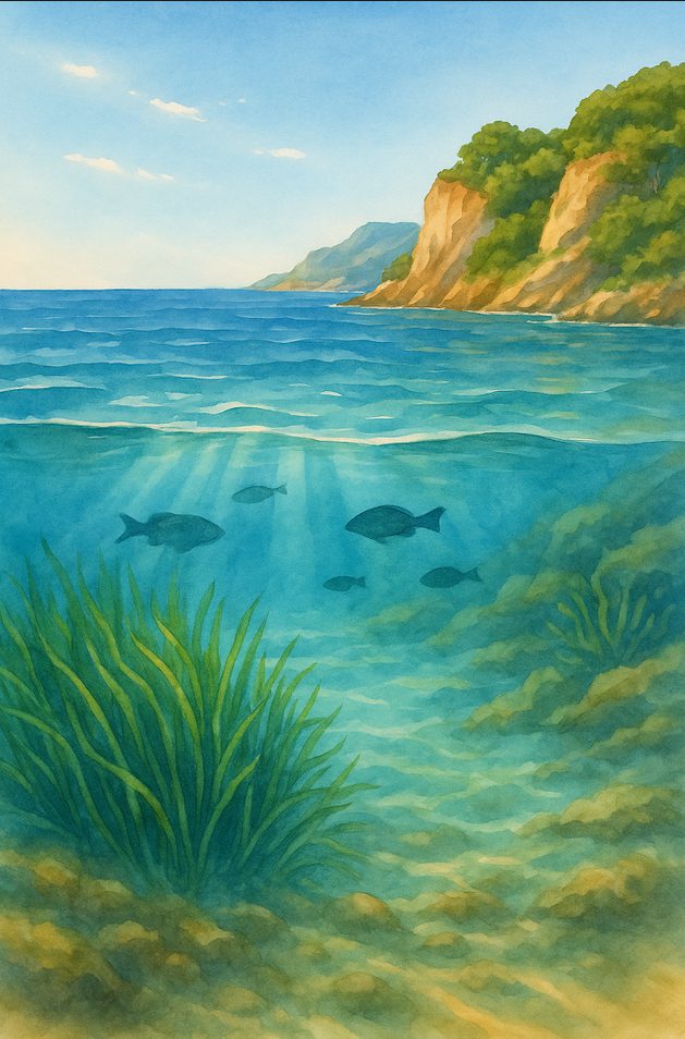
Distinctive: This ocean is shaped by sea ice, cold water, and strong seasonal shifts in light and temperature.
Connected to the global system: It shows how ocean conditions help regulate climate and affect the limits of life-supporting environments.
Ecoregion
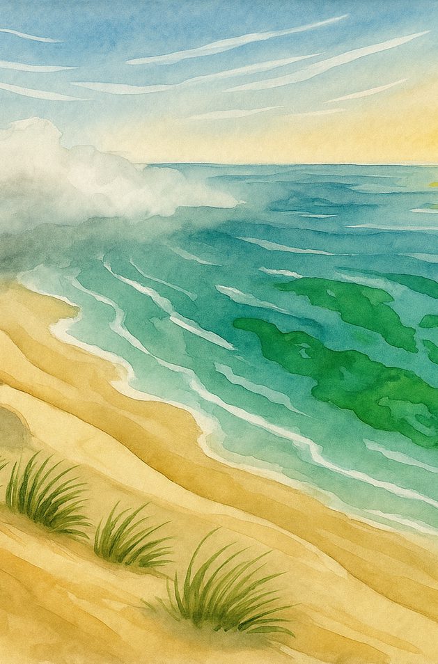
Distinctive: This semi-enclosed sea has high evaporation, relatively salty water, and restricted exchange through the Strait of Gibraltar.
Connected to the global system: Its salinity and density differences influence water exchange with the Atlantic, connecting ocean-water properties to circulation.
Ecoregion
Distinctive: This eastern-boundary current brings cold, nutrient-rich water to the surface along southwest Africa.
Connected to the global system: It connects upwelling, productive food webs, and circulation between coastal waters and the wider Atlantic Ocean.
Opportunity
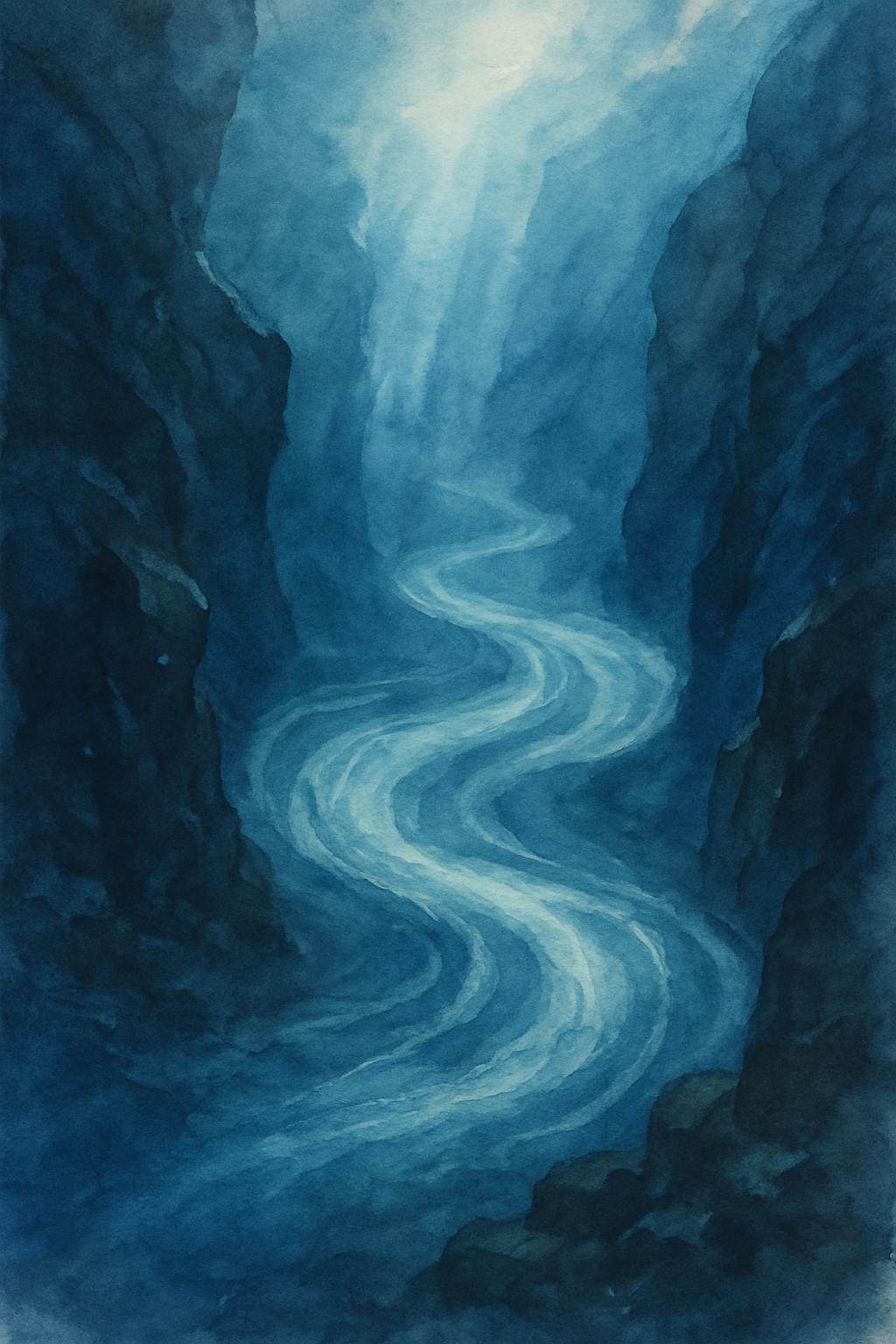
Deep Currents illustrate the principle by showing how water movement links distant parts of the ocean below the surface.
Opportunity
Upwelling shows how currents bring cold, nutrient-rich deep water into the sunlit surface ocean, supporting primary producers and connected food webs.
Adapted from the NMEA Grades 6–8 Principle 1 CFD (2021, handbook page 45). Source notes distinguish the original concepts from qualified adaptations. Classroom tasks and platform links are Blue Biome teaching suggestions.
The notes below paraphrase the English NMEA source. They also explain qualified adaptations and corrected references.
Retain mantle convection while explaining slow deformation of largely solid rock and multiple plate-driving forces, rather than a liquid-magma mantle.
Read the explanationDescribe seawater as generally slightly basic; freshwater pH varies, so omit the universal comparison.
Read the explanationApply hemisphere rotation to major subtropical gyres, not every ocean gyre.
Read the explanationPrinted P6 D17 concerns acidification; P6 D19 describes watershed pollutant transport.
Read the explanationCreation and recycling of crust; changing basins
Water properties, density and circulation
Forces and transport in circulation
Watershed inputs, density and sea level